It’s definitely a step forward.
We think this is a good scheme that deserves our and your support: it should make cycling that stretch of road safer and more accessible to more people.
The scheme involves building out the pavements on either side of Cambridge Park to provide room for 2m cycle tracks that are at the height of, and flush with the pavement. So, no riding in the gutter. At 2m, the tracks should be wide enough to accommodate bicycles with trailers, trikes and the like.
There are a couple of short sections of shared use paths, but we think these are unavoidable.
There are bus stops along the route. A cycle track either needs to go in front of the bus stop or behind it. Each option has advantages and disadvantages. The Department for Transport recommends that a cycle track goes behind a bus stop if the stop is a busy one and if front of the stop if it is not. LBR seem to have followed this guidance.
The scheme is well connected at its western end where it leads into the existing route that goes under the Green Man Roundabout and on to Leytonstone High Road.
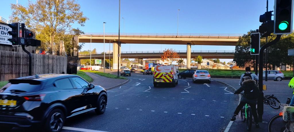
Things are not so good at the eastern end where Cambridge Park meets Wanstead High Street.
The survey
The survey is open until 3rd December. It’s straightforward to fill in.
Question 7 and 8 ask if you have any concerns about road and cycling safety in this area. We can probably all fill that one in ourselves. Question 15, the last question, asks: What improvements can you suggest to the proposals made? This is where you can mention any of the improvements below – if you agree with them. To be completely fair, improvements 2 and 3 are outside the scope of the scheme but we think would improve it considerably.
If you have any other suggestions for improvements, please send a message to us and we will look to incorporate them into our final response.
Improvement 1
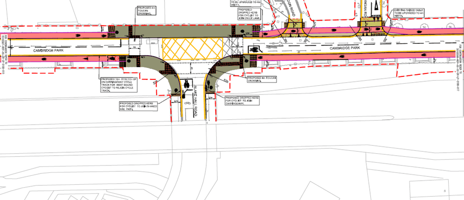
Have a look at the plan at the top of this post. The dropped kerbs at the junction of Cambridge Park and Blake Hall Road look as if they will take cyclists onto the carriageway before/after the tracks on Blake Hall Road start/end. It would be better if the dropped kerbs were placed at the start/end of the tracks to provide continuous segregated cycling.
Improvement 2
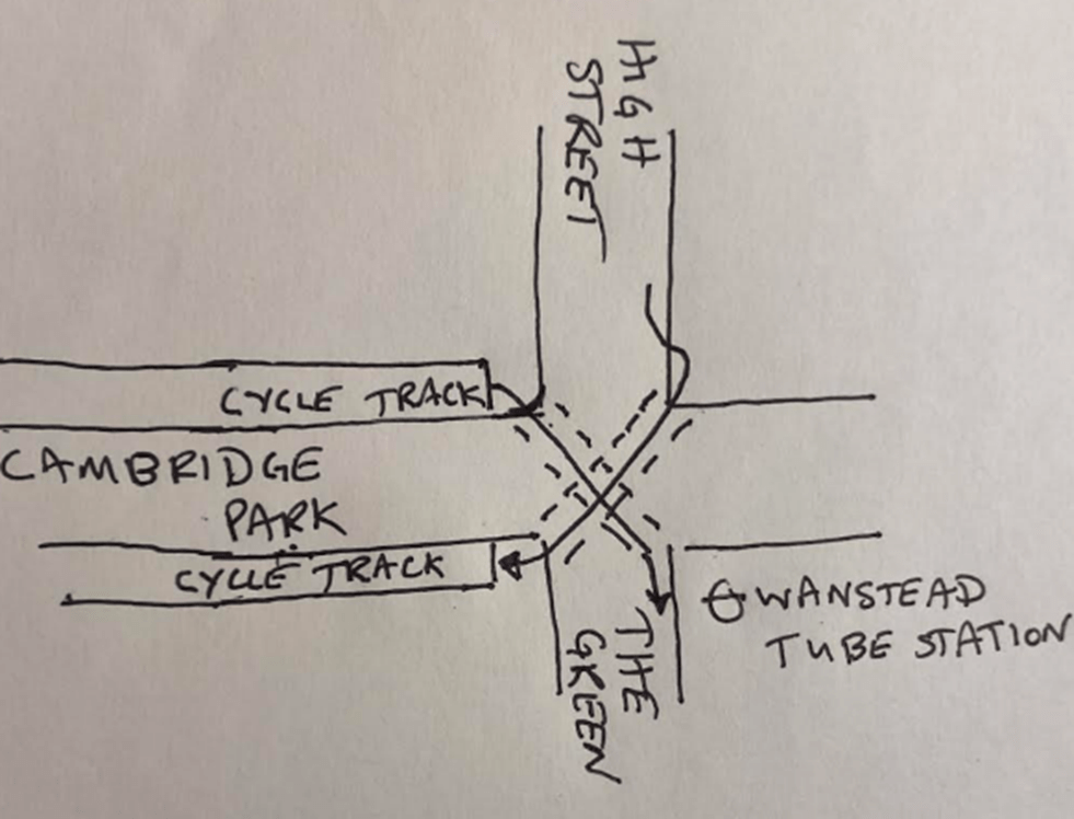
At the junction of Cambridge Park and Wanstead High Street we think that diagonal toucan crossings would help cyclists get from the High Street into the cycle track that goes towards Leytonstone and to get from Cambridge Park onto the Green.
It is true that cyclists wanting to go from Cambridge Park into the Green can turn into Draycott Road (opposite Spratt Hall Road) and then go along the edge of George Green. But crossing the Green/St Marys Avenue to go down Redbridge Lane West is tricky. Maybe Redbridge could look at this crossing point in the near future.
Improvement 3

The High Street is not cycle friendly: we wonder if something could be done to help cyclists get to the High Street from the new cycle tracks. For example, by installing a point no-entry at the junction of Spratt Hall Road and Woodbine Place to turn it from a rat run into a quiet street and by creating a shared use path across Christchurch Green to the High Street.